



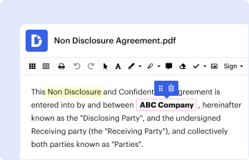
01. Edit your form online
Type text, add images, blackout confidential details, add comments, highlights and more.

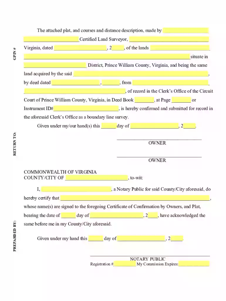
Type text, add images, blackout confidential details, add comments, highlights and more.
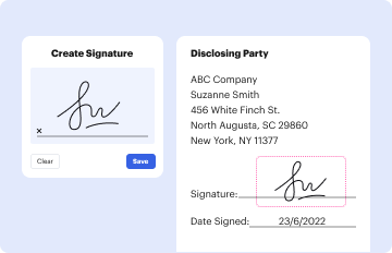
Draw your signature, type it, upload its image, or use your mobile device as a signature pad.

Send it via email, link, or fax. You can also download it, export it or print it out.
The "Typical Field Notes and Classified Excerpts - BLM" serve as comprehensive documentation related to land management and surveying activities. These documents often include detailed observations, measurements, and analyses conducted during the process of delineating land boundaries and are crucial for various transactions related to land ownership and usage. Such notes often serve as an authoritative record ensuring accuracy and legality in land dealings.
These notes are employed primarily by surveyors, land managers, and legal professionals to verify land boundaries and support transactions. Professionals interpret the collected data to make informed decisions about land use and management.
Review Initial Documentation: Begin by gathering any previous field notes or related documents.
Field Survey Execution: Conduct a thorough field survey to collect current data aligning with previously documented boundaries.
Analysis and Comparison: Compare new survey data with existing notes to confirm consistencies or note discrepancies.
Documentation and Reporting: Prepare a detailed report summarizing the findings, ensuring all measurements and analyses are included.
Legal Verification: Submit the findings for verification to ensure compliance with local and state regulations.
Field notes often consist of several crucial elements, including but not limited to geographical descriptions, notation of boundary markers, and specific survey dates and times.
Geographical Descriptions: Detailed account of the landscape, significant landmarks, and natural features.
Boundary Markers: Identification and description of physical markers used to delineate property lines.
Survey Metadata: Includes survey dates, time of day, and weather conditions, as they can affect measurements.
Completing these excerpts accurately is essential for maintaining the integrity of their use in legal and transactional contexts.
Preparation: Gather all necessary equipment and historical notes.
Fieldwork Execution: Conduct the survey, taking comprehensive notes on all relevant factors.
Data Verification: Compare newly collected data with existing excerpts.
Compilation: Assemble the report, ensuring clarity and precision in documenting every detail.
Review and Submission: Have the report reviewed by a second party before final submission to ensure accuracy and compliance.
The primary purpose is to ensure the accuracy and legal compliance of land boundaries and usage. They play a critical role in legal settings, ensuring that property transactions and land management decisions are based on solid, verifiable data.
Protects against legal challenges regarding land boundaries
Facilitates transparent and accurate property transactions
Supports informed decision-making in land management and planning
A wide range of professionals rely on these documents to perform their duties effectively.

Land Surveyors: Use these tools to verify land measurements and create accurate maps.
Real Estate Professionals: Utilize information for property sales and transactions.
Legal Advisors: Reference for resolving land disputes and clarifying property ownership.
Government Agencies: Implement the data in planning and environmental assessments.

These documents are vital for numerous legal proceedings and land transactions, offering an authoritative record required in various legal contexts.
Dispute Resolution: Serve as crucial evidence in boundary disputes or other land-related legal challenges.
Property Transactions: Required for closing real estate deals, ensuring all boundary lines are well-documented and agreed upon.
Compliance Checks: Ensure all land use adheres to local, state, and federal regulations.
Real-world scenarios where these notes prove indispensable can offer insights into their practical applications.
Boundary Dispute Settlement: A landowner may use these notes to resolve a dispute with a neighboring property holder over boundary discrepancies.
Development Planning: Developers rely on accurate field notes to plan projects that respect existing land boundaries and legal easements.
Environmental Assessments: Used to establish baseline environmental conditions before the commencement of a new project.
We've got more versions of the Typical Field Notes and Classified Excerpts - BLM form. Select the right Typical Field Notes and Classified Excerpts - BLM version from the list and start editing it straight away!
| Versions | Form popularity | Fillable & printable |
|---|---|---|
| 2008 | 4.9 Satisfied (25 Votes) |
At DocHub, your data security is our priority. We follow HIPAA, SOC2, GDPR, and other standards, so you can work on your documents with confidence.


Typical Field Notes and Classified Excerpts File 1979. Tracts of Land for Use in Land Orders and Proclamations. An official website of the Department of the
Bureau of Land Management (BLM) responsibility for coal leasing on about 570 million acres of BLM, national forest and other Federal lands,
Jun 20, 2025 View and download images of survey plats, field notes, and other records. [Cadastral survey field notes and plats for Oregon and Washington] byRead more


