




Here's how it works
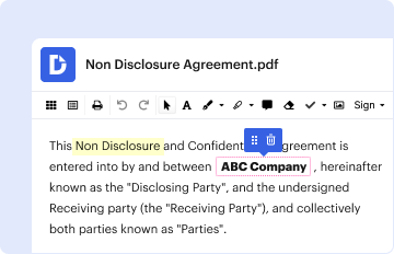
01. Edit your fema elevation certificate form 2023 pdf online
Type text, add images, blackout confidential details, add comments, highlights and more.
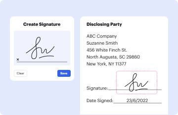
02. Sign it in a few clicks
Draw your signature, type it, upload its image, or use your mobile device as a signature pad.

03. Share your form with others
Send fema elevation via email, link, or fax. You can also download it, export it or print it out.
How to use or fill out FEMA Elevation Certificate Form 2021 with our platform

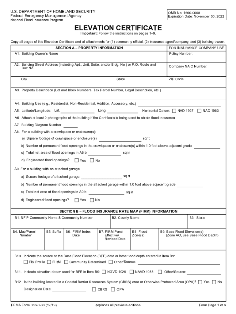
- Click ‘Get Form’ to open the FEMA Elevation Certificate in the editor.
- Begin with Section A, where you will input property information. Fill in the building owner's name, address, and property description accurately.
- In Section B, provide details from the Flood Insurance Rate Map (FIRM). Ensure you enter the correct community name, flood zone, and base flood elevation data.
- Move to Section C for building elevation information. This section requires survey data; ensure all elevations are recorded based on the specified zones.
- Complete Sections D and E as necessary. Section D requires certification from a licensed professional, while Section E is for buildings in specific flood zones without a Base Flood Elevation.
- Finally, review all sections for accuracy before saving your completed form. Use our platform's features to easily share or print your document.
Start using our platform today to fill out your FEMA Elevation Certificate form quickly and efficiently!
Fill out fema elevation certificate form 2021 online
It's free
It's free
See more fema elevation certificate form 2021 versions
We've got more versions of the fema elevation certificate form 2021 form. Select the right fema elevation certificate form 2021 version from the list and start editing it straight away!
Got questions?
We have answers to the most popular questions from our customers. If you can't find an answer to your question, please contact us.
Contact us
Is an elevation certificate required in Florida?
Structures built in a Special Flood Hazard Area must have a FEMA Elevation Certificate. This includes A, AE, AH, AO and Coastal High Hazard Areas known as VE or V zones. Structures in an X or D zone are not in the Special Flood Hazard Area, and an Elevation Certificate is not required.
How do you determine the elevation of a design flood?
In areas designated as Zone AO on a communitys flood map, the DFE is the elevation of the highest existing grade of a buildings perimeter plus the depth number specified on the flood hazard map. In areas designated as Zone AO where a depth is not specified on the map, the depth is two feet.
Security and compliance
At DocHub, your data security is our priority. We follow HIPAA, SOC2, GDPR, and other standards, so you can work on your documents with confidence.
Learn more


Related forms
Legal study guide FlashcardsQuizlet
The document is a Client Charge Memo outlining the tax deductibility of attorney's fees in dissolution cases. It specifi ...
Missouri application
The document is an application form for asbestos occupation certification from the Missouri Department of Natural Resour ...
Parent Handbook Dear Ashford Parent, - PDF Free Download
The Parent Handbook for the Early Childhood Center (ECC) provides essential information for parents regarding the center ...
July 21-30, 2021
The document provides information regarding the Pennsylvania Dutch Council's participation in the 2021 National Scout Ja ...
Kansas kshsaa foreign students
The document outlines the eligibility requirements and application process for foreign exchange students participating i ...

1(B)REQUESTSforProposal(RFP)Purpose
The document is a Request for Proposal (RFP) issued by Tompkins Consolidated Area Transit, Inc. (TCAT) for the installat ...
Nystrs please information
The document is a Direct Deposit Authorization Agreement from the New York State Teachers' Retirement System, allowing b ...
20172018 Arkansas Alternate Portfolio Assessment
The document outlines the requirements and checklist for the 2017–2018 Arkansas Alternate Portfolio Assessment for Grade ...