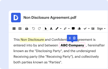
01. Edit your elevation certificate 30f2015 online
Type text, add images, blackout confidential details, add comments, highlights and more.
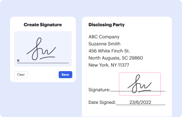
02. Sign it in a few clicks
Draw your signature, type it, upload its image, or use your mobile device as a signature pad.
03. Share your form with others
Send fema elevation certificate form 2023 via email, link, or fax. You can also download it, export it or print it out.
How to use or fill out FEMA Elevation with Our Platform
Ease of Setup
DocHub User Ratings on G2
Ease of Use
DocHub User Ratings on G2
Click ‘Get Form’ to open the FEMA elevation document in the editor.
Begin by entering your property information in the designated fields. This includes your address, city, state, and zip code. Ensure accuracy as this data is crucial for flood insurance purposes.
Next, locate the section for elevation data. Here, you will input the Base Flood Elevation (BFE) and any other relevant elevation measurements. Use our platform’s tools to easily adjust and annotate these fields.
Review any additional sections that may require signatures or certifications. Utilize the signing feature to securely sign your document online.
Once all fields are completed, save your changes and export the document directly from our editor for easy sharing or printing.
Start using our platform today to effortlessly complete your FEMA elevation form for free!
Fema elevation floridaFema elevation mapFEMA flood zone map by addressFEMA flood history by addressFEMA flood Zone XFEMA Flood Map GISFEMA flood map service CenterFEMA flood zone A
Security and compliance
At DocHub, your data security is our priority. We follow HIPAA, SOC2, GDPR, and other standards, so you can work on your documents with confidence.
Complete the Elevation Certificate on the basis of the FIRM in effect at the time of the certification. Page 52. BFE from FIRM. Page 53. Flood.Read more
FEMA FIRMS include the elevation of the. 1-percent annual chance flood Flood elevations depicted on FEMA FIRMs are based on historical informationRead more
Cookie consent notice
This site uses cookies to enhance site navigation and personalize your experience.
By using this site you agree to our use of cookies as described in our Privacy Notice.
You can modify your selections by visiting our Cookie and Advertising Notice.