


Definition and Purpose of the Complete Streets Checklist
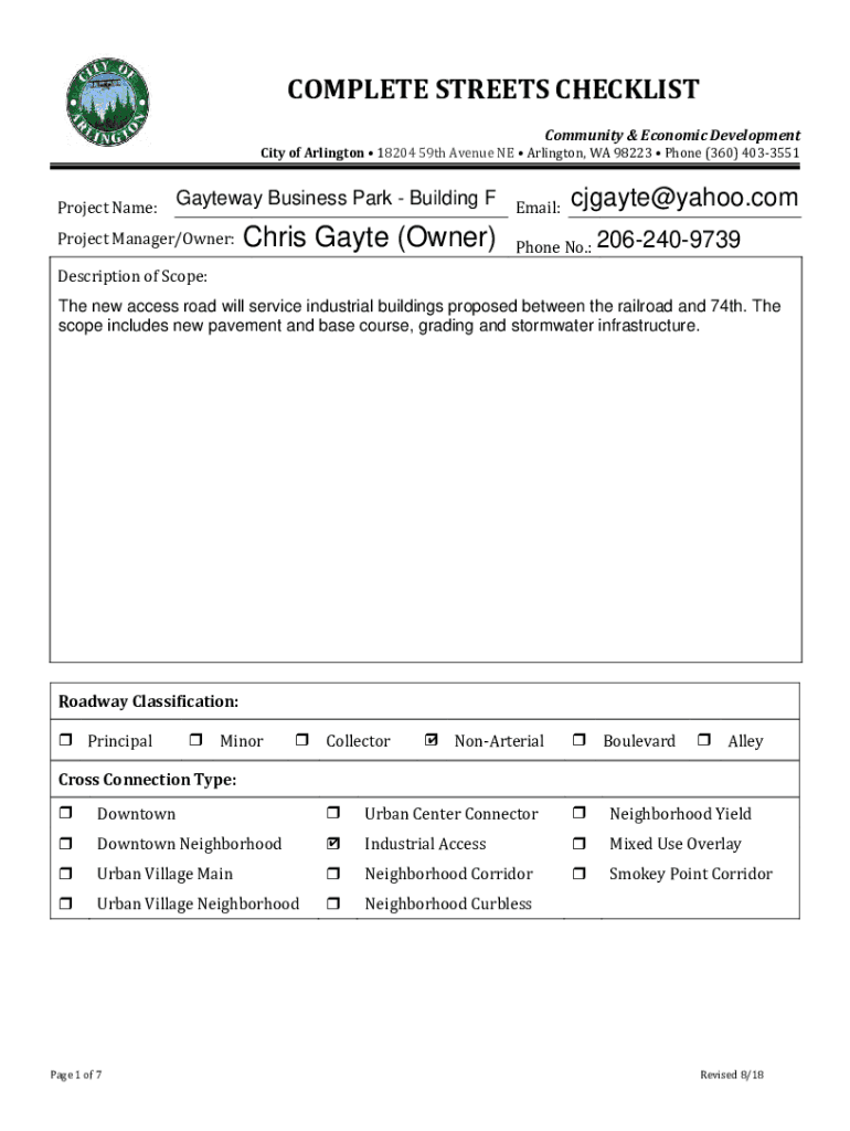
The Complete Streets Checklist is an essential tool used to evaluate roadway projects, particularly those around the Gayteway Business Park - Building F project in Arlington, WA. The checklist is designed to ensure comprehensive consideration of multifaceted aspects, such as the construction of new access roads and the management of grading and stormwater infrastructure. It serves to assess existing roadway conditions and potential improvements that enhance pedestrian, bicycle, and vehicular connectivity and safety.
Scope and Components
- Roadway Classification and Channelization: Evaluates if the road aligns with the area's classification standards and organizes vehicle flow effectively.
- Pavement Conditions: Assesses current pavement quality to determine necessary repairs or upgrades.
- Pedestrian and Bicycle Infrastructure: Identifies deficiencies and highlights improvements aimed at increasing accessibility for non-motorized users.
- Transit and Freight Facilities: Ensures that public transit and freight options are considered and integrated smoothly within the project scope.
- Landscaping and Urban Design: Focuses on the aesthetic and functional design of roadways and surrounding areas to enhance the overall environment.
How to Use the Complete Streets Checklist
Using the checklist involves a step-by-step evaluation of each component related to the roadway project’s scope. The document functions as a comprehensive guide to identify and address different infrastructural elements:
- Review Project Scope: Begin by thoroughly understanding the project details, including specific goals, such as new road construction or updates to existing infrastructure.
- Assess Current Conditions: Inventory current roadway elements to use as a baseline comparison against future improvements.
- Evaluate Impact Areas: Determine the potential effects of roadway changes across multiple dimensions, like traffic flow and community access.
- Document Findings: Record observations and proposed updates within the checklist to maintain a clear and organized project overview.
Steps to Complete the Complete Streets Checklist
Completing the checklist requires attention to detail and collaboration with various stakeholders. Here is a guide on how to effectively complete the checklist:
- Preliminary Meeting: Collaborate with urban planners, engineers, and local authorities to collect background information and objectives.
- Field Assessment: Conduct a physical walkthrough or audit of the streets and related infrastructures.
- Data Compilation: Gather data on current road conditions, traffic patterns, and public facilities impacted by the project.
- Checklist Entries: Fill in the checklist with findings from assessments, ensuring all fields are completed accurately.
- Review and Approval: Present the completed checklist for review by project managers and local officials to confirm compliance with standards.
Key Elements of the Checklist
The checklist comprises key elements that guide users in ensuring all critical considerations are addressed:
- Accessibility: Ensures facilities meet accessibility standards, paving the way for inclusion of all community members.
- Safety Enhancements: Identifies necessary improvements to protect pedestrians, cyclists, and motorists.
- Environmental Impact: Evaluates how project elements like stormwater infrastructure will impact local environments.
- Compliance with Standards: Checks conformity with municipal, state, and federal road design standards.
Why Use the Complete Streets Checklist
The checklist is instrumental in promoting safety, efficiency, and connectivity in road projects. It fosters a holistic approach to urban planning, ensuring infrastructure addresses diverse community needs by:
- Enhancing Mobility: Facilitates easier movement for all transportation modes.
- Promoting Sustainability: Encourages sustainable practices in roadway design and development.
Who Typically Uses the Checklist
The checklist is primarily used by city planners, engineers, and transportation officials who oversee the development and maintenance of roadway infrastructure in Arlington. It serves as a vital tool to:
- Urban Planners: For strategic planning and integration with urban development plans.
- Engineers: To ensure technical and structural soundness of road projects.
- Government Officials: For compliance monitoring and project approval.


Examples of Utilizing the Checklist
The Complete Streets Checklist can be applied across various real-world scenarios, such as:
- Urban Development Projects: To ensure newly constructed areas integrate seamlessly with existing road networks.
- Public Transportation Enhancements: To assess the need for new bus lanes or stops that improve transit efficiency.
- Community Safety Improvements: By identifying intersections or road stretches that require safety updates or enhancements.
State-Specific Rules and Regulations
While the checklist is used primarily within Arlington, it may reference broader compliance requirements, ensuring local projects adhere to Washington State's guidelines on roadway development, environmental concerns, and urban expansion.