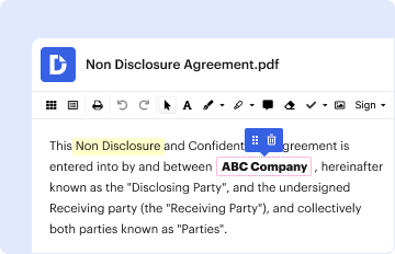
Type text, add images, blackout confidential details, add comments, highlights and more.
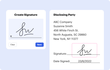
02. Sign it in a few clicks
Draw your signature, type it, upload its image, or use your mobile device as a signature pad.
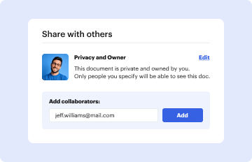
03. Share your form with others
Send it via email, link, or fax. You can also download it, export it or print it out.
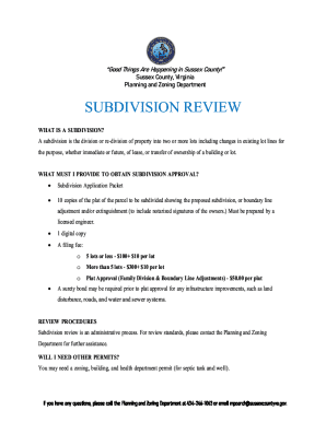
How to use or fill out Zip Code Map - Center for Regional Studies with our platform
Ease of Setup
DocHub User Ratings on G2
Ease of Use
DocHub User Ratings on G2
Click ‘Get Form’ to open the Zip Code Map in the editor.
Familiarize yourself with the map layout. The document displays various zip code boundaries within the Greater Reno-Sparks area, including key locations and landmarks.
Utilize the zoom feature to focus on specific areas of interest. This will help you identify zip codes relevant to your needs.
If you need to annotate or highlight specific zip codes, select the drawing tools available in the editor. You can easily mark areas for better visibility.
To save your changes, click on ‘Save’ or ‘Download’ to keep a copy of your annotated map for future reference.
Start using our platform today to effortlessly edit and customize your Zip Code Map!
Fill out Zip Code Map - Center for Regional Studies online It's free
Click the ZIP Code Tabulation Area option using the geography filters on data.census.gov. This provides data through Summary Level 860 from the decennial census and American Community Survey.
What is the best ZIP Code database?
The U.S. Census Bureau allows you to search by ZIP code, city, county, and/or state to find a specific areas income levels, ethnicities, ages, and other social characteristics.
Is region code the same as zip code?
2. Are region codes the same as zip codes? No, region codes (area codes) are different from zip codes. Region codes are used in the telecommunications industry to route calls, while zip codes are used by the postal service to identify geographic areas for mail delivery.
How to find a full zip code?
You can find a ZIP Code and other related information at .usps.com/zip4: Search by address: Enter a street address or P.O. Search by city: Get the ZIP Code(s) for a city. Search by company: Enter a companys partial or complete address to search for its ZIP Code.
Can you get census data by zip code?
Click the ZIP Code Tabulation Area option using the geography filters on data.census.gov. This provides data through Summary Level 860 from the decennial census and American Community Survey. Please note: American Community Survey tables were not produced for ZCTAs prior to the 2011 ACS 5-year release.
Related Searches
Zip code map center for regional studies californiaChicago zip code mapZIP code by city and stateZIP code lookup by addressZip Code usa New YorkChicago ZIP Codes by addressZIP Code plus 4 lookupWhat zip code is 10004
0:27 1:15 In this example we will seek the postal. Code for HTRA 54 in Berlin. Once you see the location onMoreIn this example we will seek the postal. Code for HTRA 54 in Berlin. Once you see the location on the map zoom in and click on the desired. Area this will bring a side box with the address.
Can you look up census records by address?
The address search functionality on data.census.gov allows you to type in an address and get a clickable list of geography filters the address falls within. To search by address: Click the geography pin icon in the single search bar on the landing page of data.census.gov.
Related links
ZIP Code Tabulation Areas (ZCTAs)
Aug 10, 2023 ZCTAs are generalized areal representations of the geographic extent and distribution of the point-based ZIP Codes built using 2020 Census tabulation blocks.
Cookie consent notice
This site uses cookies to enhance site navigation and personalize your experience.
By using this site you agree to our use of cookies as described in our Privacy Notice.
You can modify your selections by visiting our Cookie and Advertising Notice.