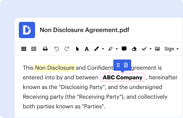
Type text, add images, blackout confidential details, add comments, highlights and more.
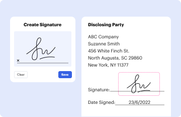
02. Sign it in a few clicks
Draw your signature, type it, upload its image, or use your mobile device as a signature pad.
03. Share your form with others
Send it via email, link, or fax. You can also download it, export it or print it out.
How to change Elevation Certificate online
Ease of Setup
DocHub User Ratings on G2
Ease of Use
DocHub User Ratings on G2
With DocHub, making adjustments to your documentation requires only some simple clicks. Make these fast steps to change the PDF Elevation Certificate online for free:
Register and log in to your account. Log in to the editor using your credentials or click Create free account to examine the tool’s functionality.
Add the Elevation Certificate for redacting. Click on the New Document button above, then drag and drop the file to the upload area, import it from the cloud, or via a link.
Alter your document. Make any adjustments required: insert text and photos to your Elevation Certificate, highlight important details, erase sections of content and substitute them with new ones, and insert icons, checkmarks, and fields for filling out.
Complete redacting the template. Save the modified document on your device, export it to the cloud, print it right from the editor, or share it with all the parties involved.
Our editor is super intuitive and efficient. Try it out now!
How much does an elevation certificate cost? According to Homeadvisor.com, the cost for a new elevation certificate typically ranges from $170 to $2,000 (average cost is $600), based on the type of property and the amount of land.
Where can I get a certificate of elevation?
FAQs about elevation certificates Start by contacting your local floodplain manager. They often work for your citys or countys building, permitting, engineering or land use department. Ask them if there is an elevation certificate on file for your property.
What is an elevation certificate?
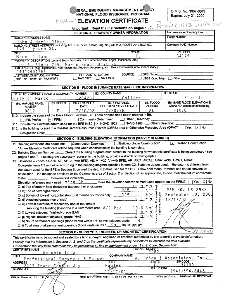
An Elevation Certificate is a document that lists a buildings location, lowest point of elevation, flood zone and other characteristics, according to the Federal Emergency Management Agency (FEMA). It is used to enforce local building ordinances and to help determine flood insurance rates.
Related Searches
Find my Elevation CertificateFEMA Elevation Certificate PDFFEMA Elevation Certificate form 2024Elevation certificate templateElevation Certificate TexasFlood Elevation CertificateElevation Certificate near meFlood Elevation Certificate lookup
The Elevation Certificate is a report of existing conditions. The surveyor/engineers stamp does not docHub that the structure complies with federal, state, or
The guideline elevation based on addition of three feet of elevation to the elevation of the highest adjacent grade is intended for use only when a BFE is
Cookie consent notice
This site uses cookies to enhance site navigation and personalize your experience.
By using this site you agree to our use of cookies as described in our Privacy Notice.
You can modify your selections by visiting our Cookie and Advertising Notice.