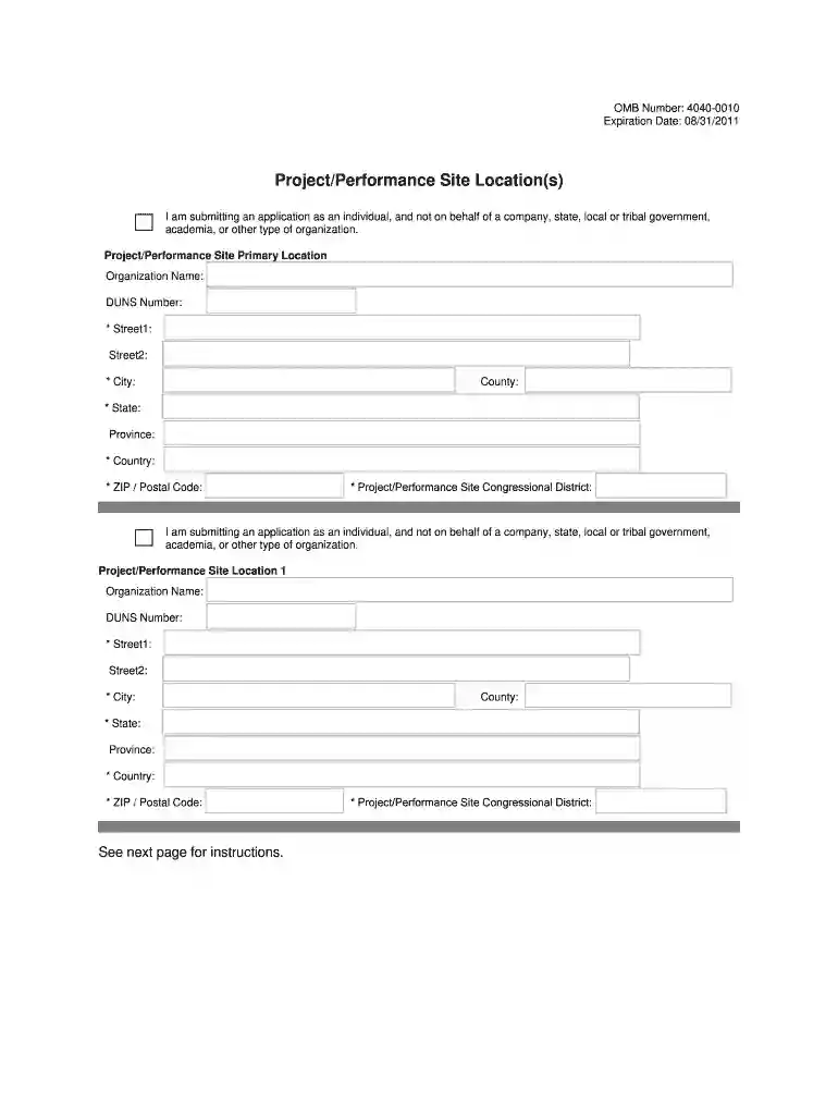
tribal postal Preview on Page 1

Project site location 2026

Here's how it works

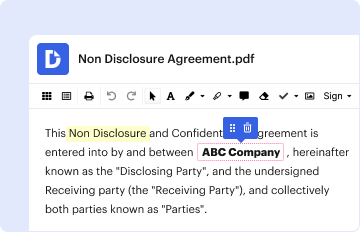
  • 01. Edit your tribal postal online

    Type text, add images, blackout confidential details, add comments, highlights and more.

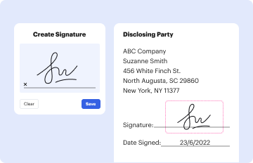
  • 02. Sign it in a few clicks

    Draw your signature, type it, upload its image, or use your mobile device as a signature pad.
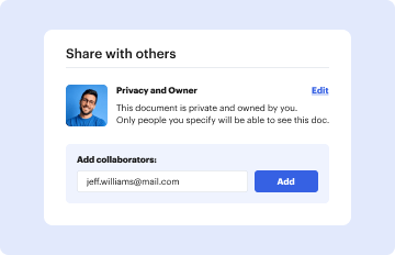
  • 03. Share your form with others

    Send performance location via email, link, or fax. You can also download it, export it or print it out.

How to use or fill out project site location with our platform

Form edit decoration
9.5
Ease of Setup
DocHub User Ratings on G2
9.0
Ease of Use
DocHub User Ratings on G2
  1. Click ‘Get Form’ to open it in the editor.
  2. Begin by entering the 'Organization Name' for the primary project site. This identifies where the work will be performed.
  3. Input the 'DUNS Number' associated with your organization, if applicable. This helps in identifying your organization uniquely.
  4. Fill in 'Street 1' with the first line of your address. If there is a second line, you can include that in 'Street 2'.
  5. Enter the 'City', 'County', and 'State' where your project site is located. Note that the state field is mandatory for U.S. locations.
  6. Specify the 'Country' and provide the nine-digit 'ZIP/Postal Code'. These fields are essential for accurate location identification.
  7. Finally, indicate your project's Congressional District using the specified format (e.g., CA-005). This information is crucial for compliance.

Start filling out your project site location form today on our platform for free!

be ready to get more

Complete this form in 5 minutes or less

Security and compliance

At DocHub, your data security is our priority. We follow HIPAA, SOC2, GDPR, and other standards, so you can work on your documents with confidence.

judicial senate

ATTACHMENT 6 PROJECT LOCATION/SITE MAP

Page 1. ATTACHMENT 6. PROJECT LOCATION/SITE MAP. Project Location Map. Page 2. ATTACHMENT 6. Project Site Plan.Read more

Learn more
NEW YORK CITY DEPARTMENT OF DESIGN +

A process in which BIM and or GIS tools are used to evaluate properties in a given area to determine the most optimal site location for a future proj- ect .

Learn more
If you believe that this page should be taken down, please follow our DMCA take down process here