



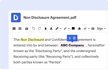
01. Edit your form online
Type text, add images, blackout confidential details, add comments, highlights and more.

Type text, add images, blackout confidential details, add comments, highlights and more.
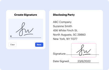
Draw your signature, type it, upload its image, or use your mobile device as a signature pad.

Send it via email, link, or fax. You can also download it, export it or print it out.
The "Parcel Consolidation Form" from Okanogan County is a document used by landowners to request the merging of adjoining land parcels into a single tax parcel. This form is essential for simplifying the tax assessment process, ensuring that landowners manage their properties more effectively. Merging parcels typically means a single property tax bill and streamlined management of property-related documents.
To acquire the Parcel Consolidation Form in Okanogan County, interested parties can directly access it through the Okanogan County Office of Planning & Development. Landowners can also visit regional government office websites, where downloadable versions may be available. Alternatively, physical copies might be provided by visiting the appropriate local government office in person.
Gather Required Information: Collect details such as parcel numbers of the adjoining properties and the contact information of all current landowners.
Fill in Landowner Details: Enter the names and signatures of all landowners involved in the consolidation request to affirm their consent.
Provide Necessary Documentation: Include any existing deeds or legal descriptions that verify ownership and the boundaries of the parcels involved.
Submit Processing Fee: Attach a check or provide information for electronic payment of the applicable processing fee required by the county office.
Check for Additional Requirements: Ensure that all county-specific stipulations, such as compliance with land use codes, are addressed before submission.
Review and Submit: Double-check all entries for accuracy before submission to the county office, either via mail or in person.
Simplified Tax Assessment: By consolidating parcels, landowners benefit from a more straightforward property tax process, receiving only one bill instead of multiple.
Streamlined Property Management: Consolidated properties often enjoy reduced administrative burden, with easier tracking and management of property records.
Development Opportunities: Combined parcels might provide enhanced opportunities for development or construction projects that exceed the limits of individual plots.
Landowner Identification: Fields for specifying the names, addresses, and contact details of all current parcel owners.
Parcel Information: Sections dedicated to entering parcel numbers, lot sizes, and legal descriptions of each property involved.
Consent Signatures: Designated spaces where each owner must sign to confirm their agreement with the consolidation request.
Fee Payment Details: Instructions for the payment of the processing fee, whether by check or electronic transfer.
When completing a Parcel Consolidation Form, landowners must be aware of the legal implications:
Irreversibility of Consolidation: Once parcels are consolidated, reversing the process can be complex and typically requires compliance with specific land use codes.
Property Rights Changes: Consolidation might alter property rights or obligations, influencing potential future sales or development plans.
Land Use Compliance: Consolidated parcels must adhere to existing land use codes, which could affect future development or zoning opportunities.
The form is principally utilized by:
Individual Landowners: Those with adjoining plots seeking simplified property management and reduced tax complexity.
Real Estate Developers: Developers looking to optimize land for larger construction projects by merging smaller parcels.
Local Government Bodies: Occasionally used by local authorities managing municipally-owned lands for urban development purposes.

When preparing to submit a Parcel Consolidation Form, ensure these documents are ready:
Current Deeds and Property Titles: To confirm ownership and boundaries of the parcels involved.
Legal Descriptions: Detailed documentation outlining the dimensions and precise location of each parcel.
Proof of Payment: Confirmation that the processing fee has been paid or is enclosed with the submission.
We've got more versions of the PARCEL CONSOLIDATION FORM - Okanogan County - okanogancounty form. Select the right PARCEL CONSOLIDATION FORM - Okanogan County - okanogancounty version from the list and start editing it straight away!
| Versions | Form popularity | Fillable & printable |
|---|---|---|
| 2005 | 4 Satisfied (36 Votes) |
Electronic document signing requires a software solution that works in compliance with data protection and eSignature regulations. DocHub is a great tool for that, as it meets all the above mentioned requirements. Whatever method you prefer to sign your PARCEL CONSOLIDATION FORM - Okanogan County - okanogancounty in DocHub, your eSignature will be legally binding and court-admissible.
When you edit your PARCEL CONSOLIDATION FORM - Okanogan County - okanogancounty with DocHub, you will not need to look for other software or services to sign it. An electronic signature is part of DocHub’s extensive editing toolset, which enables you to implement changes in your form without switching between platforms. Just complete your form, double-check the correctness of the data and place your electronic signature at the end to make it submission-ready quickly.
At DocHub, your data security is our priority. We follow HIPAA, SOC2, GDPR, and other standards, so you can work on your documents with confidence.
parcel numbers in Okanogan County begin with the TRS number. 999, 999, 999 We request parcel data by Township from each county in both spatial and tabularRead more
An application form available from the Okanogan County office of planning and development shall be completed including the following information: 1) A legalRead more


