


Definition and Meaning
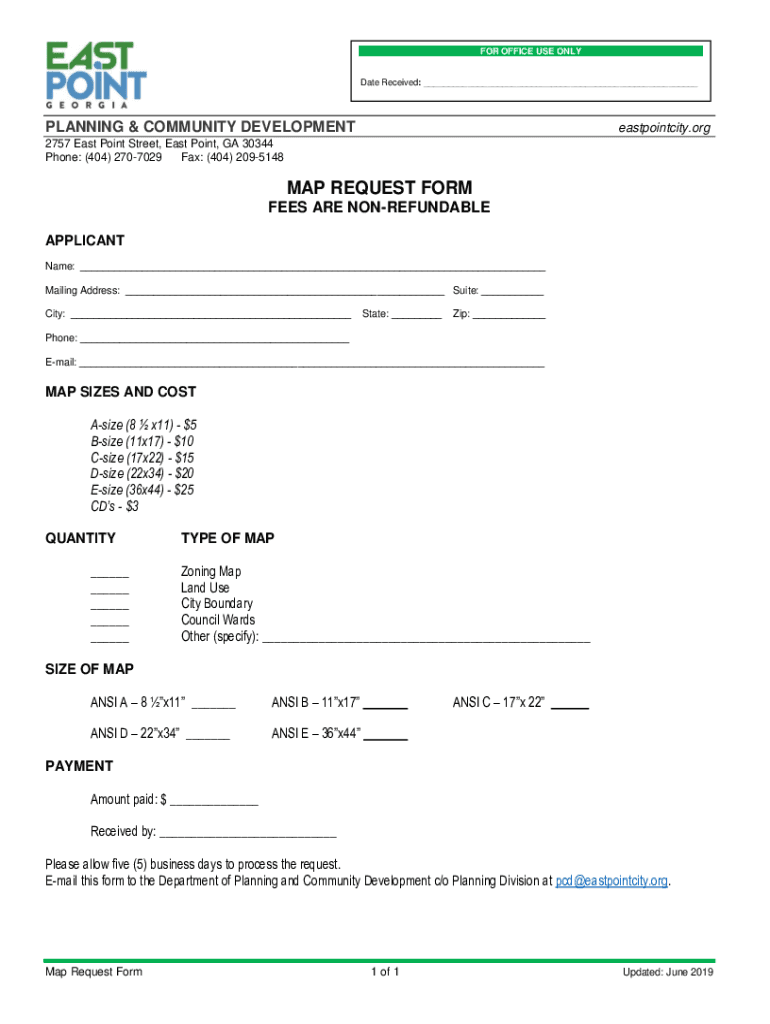
The "Mayor Planning & Community Development Department Ward A Council 2757" form acts as a crucial tool for residents and city officials in East Point, GA. It streamlines the process of requesting zoning and land use maps, which are vital for urban planning, property development, and community engagement. Whether you're seeking a map for personal use or official purposes, understanding its scope is essential. This form is not just a request sheet; it reflects the city's commitment to organized development and transparency in planning.
Key Elements
- Applicant Information: Essential personal details, such as name and contact, ensure proper processing and communication.
- Map Types: Options for different types of maps, including zoning and land use maps, cater to varied user needs.
- Payment Details: Clear instructions on fees and payment methods, stating that fees are non-refundable.
How to Use the Form
Steps to Complete
- Fill Out Applicant Information: Provide accurate name, address, and contact information.
- Select Map Type: Choose from available map types as per your requirements.
- Payment Information: Enter payment details carefully since fees are non-refundable.
- Submission: Submit the form according to the provided instructions.
Important Considerations
- Accuracy: Double-check all details, especially payment information, to avoid errors.
- Understand Non-Refundable Fees: This clarity can prevent misunderstandings during the process.
How to Obtain the Form
Request Methodologies
- In-Person Collection: Visit the Planning & Community Development Department to collect the form.
- Online Download: Access through the city's official website if available.
Essential Requirements
- Valid government-issued identification may be necessary when collecting in person.
Legal Use of the Form
Compliance and Legality
- Data Protection: Ensure all personal data is protected under applicable privacy laws.
- Authorized Use: Use the form for the stated purposes to comply with municipal regulations.
Consequences of Misuse
- Inaccurate or fraudulent information may lead to denial of services or legal repercussions.
Key Elements
Detailed Breakdown
- Map Request Options: Include various sizes and specifications of requested maps.
- Processing Time: Typically, requests are completed within five business days.
- Communication: Notification protocols about status updates or additional requirements.
State-Specific Rules
Georgia-Specific Regulations
- Regulatory Compliance: Abide by Georgia state laws governing public records and municipal processes.
- Zoning Regulations: Specific references may be necessary for zoning law adherence.
Variations Across States
- Other states may have different processes or additional requirements.
Examples of Using the Form
Practical Scenarios
- Homebuyers: Individuals planning to purchase property and needing detailed zoning information.
- Developers: Professionals analyzing potential development sites for investment.
- Community Leaders: Advocates for neighborhood projects and infrastructure improvements.
Real-World Applications
- Facilitates informed decision-making in property investment and urban management.
Required Documents
Essential Submissions
- Identification Proof: Valid ID required for form acceptance.
- Payment Receipt: Ensure a record of payment accompanies your submission.
Common Errors
- Missing information can delay processing; thorough checks are vital.
Form Submission Methods
Available Options
- Online Submission: Digital processes, where available, offer convenience.
- Mail/In-Person: Traditional methods remain available, often requiring mailing a printed form.
Advantages and Limitations
- Digital Methods: Faster processing but may require internet access.
- Traditional Methods: More accessible for those without digital capabilities, albeit slower.
By focusing on each of these elements with thorough explanations and practical examples, individuals interacting with the "Mayor Planning & Community Development Department Ward A Council 2757" form can enhance their understanding and effectively utilize the process for obtaining necessary city planning documents.