Type text, add images, blackout confidential details, add comments, highlights and more.
02. Sign it in a few clicks
Draw your signature, type it, upload its image, or use your mobile device as a signature pad.
03. Share your form with others
Send it via email, link, or fax. You can also download it, export it or print it out.
How to use or fill out Mississippi Boundary with our platform
Ease of Setup
DocHub User Ratings on G2
Ease of Use
DocHub User Ratings on G2
Click ‘Get Form’ to open the Mississippi Boundary document in the editor.
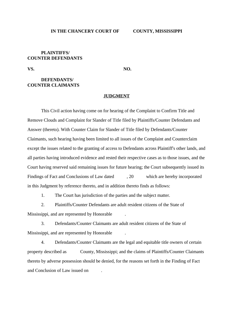
Begin by entering the names of the Plaintiffs and Defendants in the designated fields. Ensure that you accurately represent their legal status as adult resident citizens of Mississippi.
Fill in the case number and date fields as required. This information is crucial for proper documentation and tracking of your case.
In the section regarding property ownership, clearly describe the property in question, including its location and any relevant details about its size and boundaries.
Complete the easement details by specifying measurements and directions as indicated. This includes noting any existing roads or landmarks that pertain to access rights.
Review all entries for accuracy before saving your changes. Utilize our platform’s features to ensure clarity and correctness throughout your document.
Start editing your Mississippi Boundary document online for free today!
After debate on whether the territory should enter the Union as one state or two, it was decided to divide the territory, partly to allow for two pro-slavery Senate seats. On December 10, 1817, President James Madison granted statehood to the western side of the territory, making Mississippi the Unions 20th state.
What are the borders of Mississippi?
The U.S. Congress created the Mississippi Territory in 1798 out of lands north of the 31st parallel formerly claimed by the colony of Georgia. Congress split the territory in 1817 due to pressure from white Southerners who wanted to see two new slave states emerge.
The original scale of the data is 1:100,000 and covers the entire state of Mississippi. The 2015 updates represent federal delineations of the MS Gulf Coast
Cookie consent notice
This site uses cookies to enhance site navigation and personalize your experience.
By using this site you agree to our use of cookies as described in our Privacy Notice.
You can modify your selections by visiting our Cookie and Advertising Notice.