Improve your template managing with Flood Zone Legal Forms

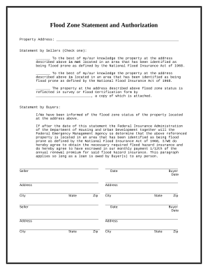
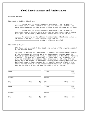
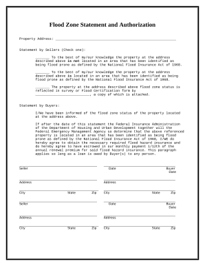
Your workflows always benefit when you are able to obtain all of the forms and documents you need at your fingertips. DocHub offers a wide array of forms to ease your day-to-day pains. Get hold of Flood Zone Legal Forms category and quickly browse for your document.

Begin working with Flood Zone Legal Forms in a few clicks:

  1. Browse Flood Zone Legal Forms and find the document you require.
  2. Click on Get Form to open it in our online editor.
  3. Start changing your form: add fillable fields, highlight paragraphs, or blackout sensitive data.
  4. The app saves your modifications automatically, and after you are ready, you are able to download or share your file with other contributors.

Enjoy smooth file managing with DocHub. Discover our Flood Zone Legal Forms category and get your form today!

Video Guide on Flood Zone Legal Forms management

video background

Commonly Asked Questions about Flood Zone Legal Forms

Flood hazard assessments and maps typically look at the expected extent and depth of flooding in a given location, based on various scenarios (e.g. 100-year events, 50-year events, etc.).
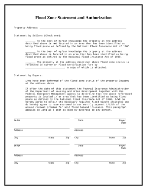
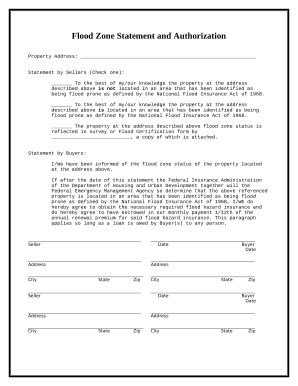
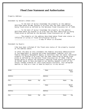
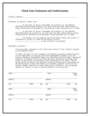
The form may also be used by property owner, insurance agents, realtors, community officials for flood insurance related documentation. The latest form for Standard Flood Hazard Determination Form expires 2023-09-30 and can be found here.
There are three forms of the SFIP: the Dwelling Form, the General Property Form, and the Residential Condominium Building Association Policy (RCBAP) Form. The Dwelling Form insures a one-to-four family residential building or a single-family dwelling unit in a condominium building.
On a flood map, they are labeled as the following: Low Risk: B X. Moderate Risk: C X. High Risk: A. Coastal High Risk: V, VE. Undetermined Risk: D. | Flood Zones | FloodSmart floodsmart.gov flood-zones-and-maps floodsmart.gov flood-zones-and-maps
Lenders must document the determination using the Standard Flood Hazard Determination Form provided by the Federal Emergency Management Agency (FEMA) and retain that form for the life of the loan.
AE flood zones are areas that present a 1% annual chance of flooding and a 26% chance over the life of a 30-year mortgage, ing to FEMA. These regions are clearly defined in Flood Insurance Rate Maps and are paired with detailed information about base flood elevations.
The Standard Flood Hazard Determination Form is required for all federally backed loans and is used by lenders to determine the flood risk for their building loans. The form is authorized by the National Flood Insurance Reform Act of 1994 and is imposed on lenders by their regulatory entities, not by FEMA.